The EFFECT OF LAND WIDTH ON LAND-SEA BREEZE
By Using WRF.4.0.3 & NCL

Methods/Experiments
(1) Change variables which are related to land width in namelist.input file and module_initialize_ideal.F file. We set two cases.
A) we shortened land width into 76km to observe dramatic change. So we put 19 in variable lm and 188 in variable e_we because we fixed ocean grid by default.
B) Second, we reduced land width into 152km to show how does the land-sea breeze work when the land width is a middle value of case1 and default case.

<module_initialize_ideal.f change>
! lm is the half width of the land in terms of grid points
lm = 55
write(6,*) 'lm,icm-lm,icm+lm = ', lm,icm-lm,icm+lm
CASE (les)
! FOR LES, set stretch to false
stretch_grid = .false.
CASE1
CASE1
! lm is the half width of the land in terms of grid points
lm = 19
write(6,*) 'lm,icm-lm,icm+lm = ', lm,icm-lm,icm+lm
CASE (les)
! FOR LES, set stretch to false
stretch_grid = .false.
CASE2
! lm is the half width of the land in terms of grid points
lm = 38
write(6,*) 'lm,icm-lm,icm+lm = ', lm,icm-lm,icm+lm
CASE (les)
! FOR LES, set stretch to false
stretch_grid = .false.
<namelist. input change>
s_we = 1,
e_we = 260,
s_sn = 1,
e_sn = 3,
s_vert = 1,
e_vert = 35,
CASE1
s_we = 1,
e_we = 188,
s_sn = 1,
e_sn = 3,
s_vert = 1,
e_vert = 35,
CASE2
s_we = 1,
e_we = 226,
s_sn = 1,
e_sn = 3,
s_vert = 1,
e_vert = 35,
(2) Run WRF model.
(3) Use NCL to visualize the output file obtained from WRF model.
(4) Through the graph gained from process 2, analyze results focusing on atmospheric factors (U-wind, W-wind speed and temperature)
WRF.4.0.3
WRF is a abbreviation of Weather Research and Forecasting. It is a state-of-the-art atmospheric modeling system designed for both meteorological research and numerical weather prediction offering a options for atmospheric processes and can run on a variety of computing platforms.
WRF is suitable for a broad range of applications across scales ranging from tens of meters to thousands of kilometers.

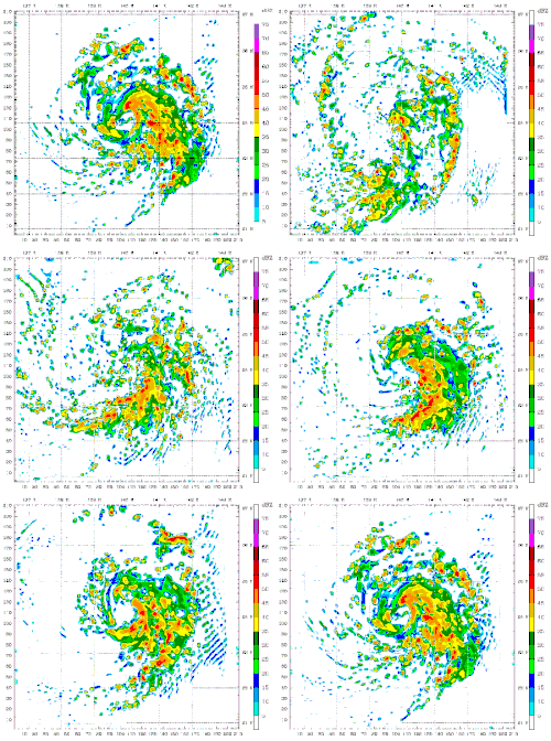
Figure. WRF Example
You can find more information about WRF from
NCL
NCL is a abbreviation of NCAR Command Language.
It is a free interpreted language designed specifically for scientific data processing and visualization.
NCL and NCAR (National Center for Atmospheric Research) Graphics run on UNIX-based operating systems, including Linux, MacOSX, and Cygwin/X running on Windows.

Figure. NCL logo
You can find more information about NCL from